Mount Pleasant, TX
Transportation
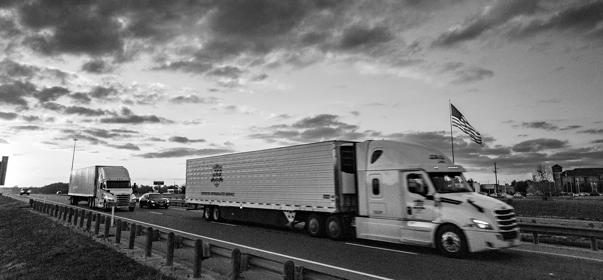


HIGHWAY TRANSPORTATION
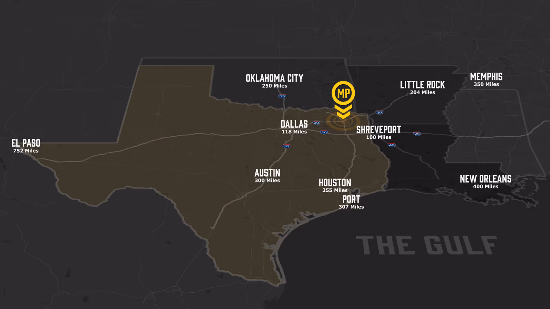
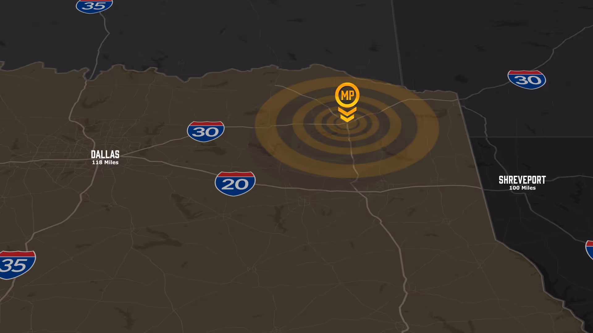
Mount Pleasant Vital Highway Statistics
Critical Data Points:
Interstate & Highway Infrastructure
- Located directly on Interstate 30, a major east-west transcontinental corridor
- Intersection of I-30 and US Highway 271 (north-south route)
Major Market Access
- 118 miles to Dallas-Fort Worth Metroplex (under 2 hours)
- Gateway between Texas and eastern U.S. markets via I-30
Key Advantages
- Minimal traffic congestion for predictable delivery schedules
- Lower freight costs due to direct interstate access
- Same-day or next-day delivery capability to major Texas markets
- Strategic position for regional distribution operations
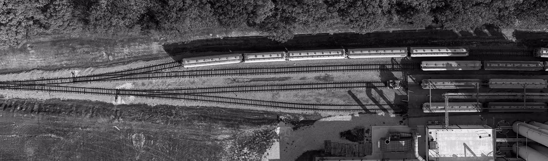
RAIL ACCESS
Mount Pleasant Vital Rail Statistics
Critical Data Points:
Rail Provider & Infrastructure
- Served by Union Pacific Railroad, one of North America's largest rail networks
- Rail siding opportunities for direct plant access
- Blacklands (connections to UP, KCS, & Dallas Garland & Northeastern)
Market Connectivity
- Direct rail connections to major ports (Houston, Gulf Coast, West Coast)
- Access to Dallas-Fort Worth intermodal facilities within 120 miles
- Connectivity to national rail network reaching all major U.S. markets
Key Advantages
- Cost-effective bulk material shipping for raw materials and finished goods
- Lower per-unit shipping costs compared to truck-only transportation
- Ideal for heavy manufacturing and bulk commodities (metals, chemicals, plastics)
- Competitive advantage for freight-intensive manufacturing operations

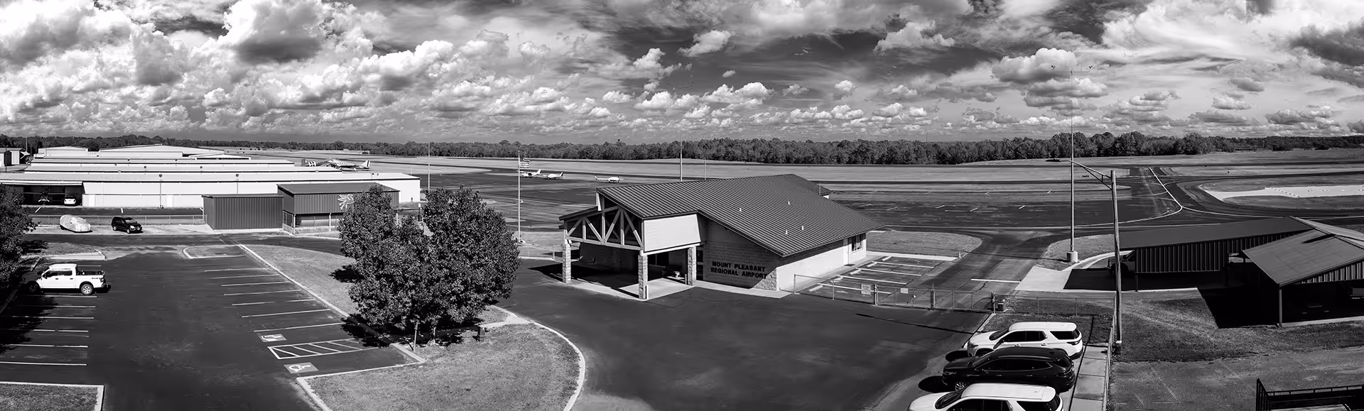
Airport ACCESS
Mount Pleasant Vital Airport Statistics
Critical Data Points:
Airport Access
- Dallas-Fort Worth International Airport (138 miles, under 2 hours via I-30)
- Mount Pleasant Regional Airport for general aviation and private aircraft
Key Advantages
- Quick access to DFW's global connectivity for business travel and air cargo
- Local facilities for corporate/executive aircraft
- Time-sensitive air freight capability via DFW for just-in-time manufacturing
Commercial / International Airports:
- East Texas Regional, Commuter, 66 miles
- Texarkana Regional, Commuter, 69 miles
- Tyler Pounds Regional, Commuter, 74 miles
- Shreveport Regional, Commuter, 96 miles
- Dallas/Fort Worth, C/I, 138 miles
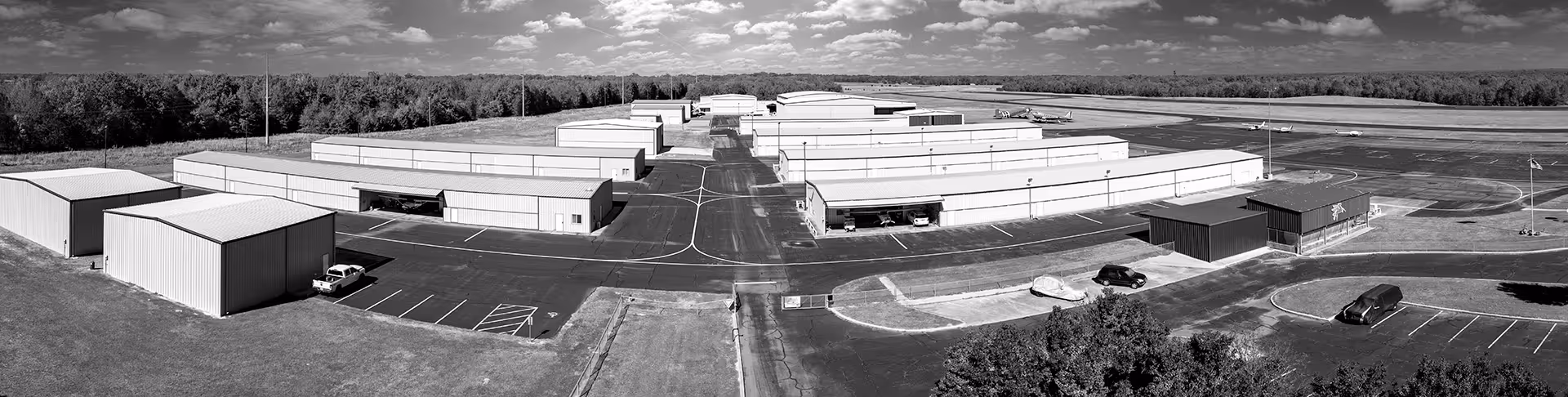
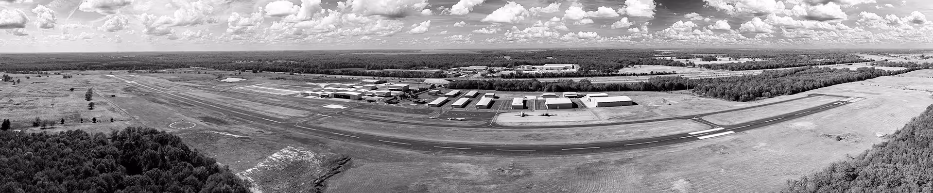
Mount Pleasant Regional Airport:
- Runway 17/35 is 6,004’ x 100 feet with a full-length parallel taxiway and medium intensity pilot-controlled lighting. PAPI Lights on both 17/35 runways. The airport longitude is N.33 05.7 and the latitude is W. 094 57.6
- Location: 501 Mike Hall Parkway
- Number of base airplanes: 138

See why companies are choosing Mount pleasant